New products
-

-

Tarantula Boulder La Sportiva
89,96 € -

Backpack Rapido 18 Grivel
106,25 € -

Eclipse 300 Easy Camp
139,50 € -

Universal Pouch 10x20 Tatonka
26,00 € -

Universal Pouch 10x20 Tatonka
25,00 € -

String M Petzl
1,10 € -

Microlight Alpine Jacket Rab
MICROLIGHT ALPINE JACKET RAB The Microlight Alpine Jacket is a...
192,00 € -

Warrior Crash Pad Retro Moon
315,00 € -

Samurai Pant Moon
82,00 € -

Samurai Short Moon
65,00 € -

Cepillos Sierra
10,00 € -

Chalk Crunchy 200gr Sierra
9,50 € -

Sierra Colofonia Liquido
8,00 € -

Top sellers
-

Dana 10 Speleology Kordas
DANA 10 SPELEOLOGY KORDAS Semi-static caving rope Type A (EN-1891)....
2,47 € -

-

-

Iris 10 Green/Blue Kordas
IRIS 10 GREEN/BLUE KORDAS Canyons rope semi-static Type A (EN-1891).
3,06 € -

Oval Quick Link 8 Camp
Oval Quick Links are made from mild steel and are Zinc Plated steel/zinc...
3,10 €
Book There are 30 products.
-
Prevención y seguridad en trabajos... Prevención y seguridad en trabajos...
PREVENCIÓN Y SEGURIDAD EN TRABAJOS VERTICALES DESNIVEL This work was developed with the aim of providing readers with the most rigorous and reliable, but is merely a didactic support to technical training. PREVENCIÓN Y SEGURIDAD EN TRABAJOS VERTICALES DESNIVEL This work...
23,80 €In Stock -
Aneto Paraíso del Pirineo Aragonés Aeri... Aneto Paraíso del Pirineo Aragonés Aeri...
ANETO PARAÍSO DEL PIRINEO ARAGONÉS Climbing routes guide of the Massif de la Maladeta ANETO PARAÍSO DEL PIRINEO ARAGONÉS Climbing routes guide of the...
28,00 €In Stock -
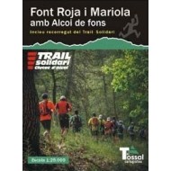
Font Roja i Mariola amb Alcoi de Fons El... Font Roja i Mariola amb Alcoi de Fons El...
FONT ROJA I MARIOLA AMB ALCOI DE FONS EL TOSSAL 1: 25,000 scale hiking map of the surroundings of the nearest mountains in the province of Alcoi: Mariola and the Carrascar de la Font Roja. FONT ROJA I MARIOLA AMB ALCOI DE FONS EL TOSSAL 1: 25,000 scale...
5,00 €Out of stock -
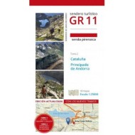
GR 11: Senda Pirenaica Tomo 2 Prames GR 11: Senda Pirenaica Tomo 2 Prames
GR 11: SENDA PIRENAICA PRAMES (Volume 2) This guide collects 18 maps with a detailed description of the GR 11 trail with explanations of all the stages and 1: 25000 scale maps. GR 11: SENDA PIRENAICA PRAMES (Volume 2) This guide collects 18...
30,00 €In Stock -
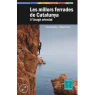
Les Millors Ferrades de Catalunya Alpina Les Millors Ferrades de Catalunya Alpina
LES MILLORS FERRADES DE CATALUNYA The aim of this guide is that it incorporates the 30 best ferratas in Catalonia and Eastern Aragon LES MILLORS FERRADES DE CATALUNYA The aim of this guide is that it...
20,00 €In Stock -
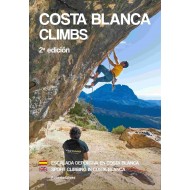
Libro Costa Blanca Climbs Libro Costa Blanca Climbs
COSTA BLANCA CLIMBS Climbing guide of the province of Alicante and Gandía (Valencia). With more than 4000 climbing routes of all kinds of degrees. COSTA BLANCA CLIMBS Climbing guide of the province of Alicante and...
40,00 €In Stock -
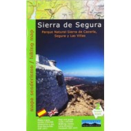
Sierra de Segura Editorial Penibetica Sierra de Segura Editorial Penibetica
SIERRA DE SEGURA EDITORIAL PENIBETICA 1: 40,000 scale hiking topographic map. It contains an explanatory booklet of routes with text in Spanish and English. SIERRA DE SEGURA EDITORIAL PENIBETICA 1: 40,000 scale hiking...
15,00 €Out of stock -
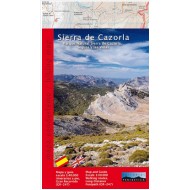
Sierra de Cazorla Editorial Penibetica Sierra de Cazorla Editorial Penibetica
SIERRA DE CAZORLA EDITORIAL PENIBETICA 1: 40,000 scale hiking topographic map. SIERRA DE CAZORLA EDITORIAL PENIBETICA 1: 40,000 scale hiking...
12,00 €Out of stock -
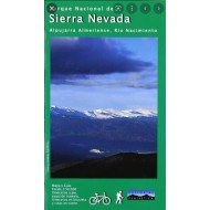
Sierra Nevada Editorial Penibetica Sierra Nevada Editorial Penibetica
SIERRA NEVADA EDITORIAL PENIBETICA Alpujarra Almeriense, Río Nacimiento 1: 50,000 scale hiking topographic map. SIERRA NEVADA EDITORIAL PENIBETICA Alpujarra Almeriense, Río...
8,00 €In Stock -
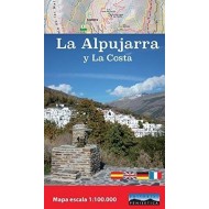
La Alpujarra y la Costa Editorial Penibetica La Alpujarra y la Costa Editorial Penibetica
LA ALPUJARRA Y LA COSTA EDITORIAL PENIBETICA 1: 100,000 scale hiking topographic map. LA ALPUJARRA Y LA COSTA EDITORIAL PENIBETICA 1: 100,000 scale...
8,00 €Out of stock -
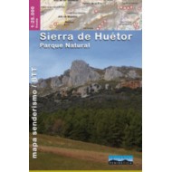
Sierra de Huétor Editorial Penibetica Sierra de Huétor Editorial Penibetica
SIERRA DE HUÉTOR EDITORIAL PENIBETICA 1: 100,000 scale hiking topographic map. SIERRA DE HUÉTOR EDITORIAL PENIBETICA 1: 100,000 scale hiking...
11,00 €In Stock -
-
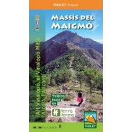
Massís del Maigmó Editorial Piolet Massís del Maigmó Editorial Piolet
MARINA BAIXA - SERRA D'AITANA EDITORIAL PIOLET Map of the Marina Baixa and the Serra d'Aitana (Serra de Polop and Embalse de Guadalest). MARINA BAIXA - SERRA D'AITANA EDITORIAL PIOLET Map of the Marina...
10,00 €In Stock -
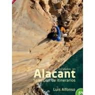
Escaladas en Alicant Escaladas en Alicant
ESCALADAS EN ALICANT ESCALADAS EN ALICANT
35,00 €In Stock -
