New products
-

-

Tarantula Boulder La Sportiva
89,96 € -

Backpack Rapido 18 Grivel
106,25 € -

Eclipse 300 Easy Camp
139,50 € -

Universal Pouch 10x20 Tatonka
26,00 € -

Universal Pouch 10x20 Tatonka
25,00 € -

String M Petzl
1,10 € -

Microlight Alpine Jacket Rab
MICROLIGHT ALPINE JACKET RAB The Microlight Alpine Jacket is a...
192,00 € -

Warrior Crash Pad Retro Moon
315,00 € -

Samurai Pant Moon
82,00 € -

Samurai Short Moon
65,00 € -

Cepillos Sierra
10,00 € -

Chalk Crunchy 200gr Sierra
9,50 € -

Sierra Colofonia Liquido
8,00 € -

Top sellers
-

Dana 10 Speleology Kordas
DANA 10 SPELEOLOGY KORDAS Semi-static caving rope Type A (EN-1891)....
2,47 € -

-

-

Iris 10 Green/Blue Kordas
IRIS 10 GREEN/BLUE KORDAS Canyons rope semi-static Type A (EN-1891).
3,06 € -

Oval Quick Link 8 Camp
Oval Quick Links are made from mild steel and are Zinc Plated steel/zinc...
3,10 €
Book There are 30 products.
-
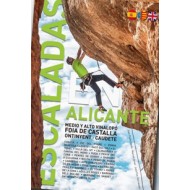
Escaladas en Alicante Escaladas en Alicante
ESCALADAS EN ALICANTE ESCALADAS EN ALICANTE
32,00 €In Stock -
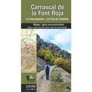
Carrascal de la Font Roja: La Carrasqueta... Carrascal de la Font Roja: La Carrasqueta...
CARRASCAL DE LA FONT ROJA: LA CARRASQUETA - LA FOIA DE CASTALLA ED. EL TOSSAL CARTOGRAFIES Map and hiking guide 1: 25,000 scale of the Carrascal of Font Roja, the Carrasqueta and Foia of Castalla. CARRASCAL DE LA FONT ROJA: LA CARRASQUETA - LA FOIA DE CASTALLA ED....
10,00 €In Stock -
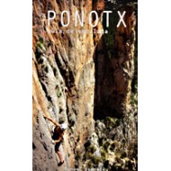
Ponotx: Guía de Escalada Ponotx: Guía de Escalada
PONOTX: GUÍA DE ESCALADA The Ponotx, mole is a huge, bulky figure in the distance conceals their implacable verticality and immense cliffs. PONOTX: GUÍA DE ESCALADA The Ponotx, mole is a huge, bulky figure...
18,00 €In Stock -
Sport Climbing Cuenca Escalada Deportiva Sport Climbing Cuenca Escalada Deportiva
32,00 €Out of stock -
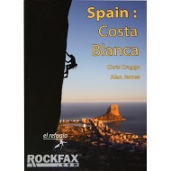
Spain: Costa Blanca. Rockfax Spain: Costa Blanca. Rockfax
SPAIN: COSTA BLANCA ROCKFAX Since 1996, has been synonymous Rockfax the Costa Blanca area of Spain. SPAIN: COSTA BLANCA ROCKFAX Since 1996, has been synonymous...
52,00 €Out of stock -
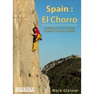
Spain: El Chorro RockFax Spain: El Chorro RockFax
SPAIN: EL CHORRO ROCKFAX Climbing guide in the area of Malaga (Andalucia). SPAIN: EL CHORRO ROCKFAX Climbing guide in the area of Malaga...
46,00 €Out of stock -
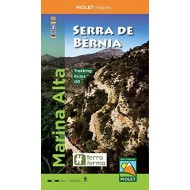
Marina Alta-Serra de Bernia Editorial Piolet Marina Alta-Serra de Bernia Editorial Piolet
MARINA ALTA - SERRA DE BERNIA EDITORIAL PIOLET Map Marina Alta - Serra de Bernia (Guadalest Zone). MARINA ALTA - SERRA DE BERNIA EDITORIAL PIOLET Map Marina Alta -...
10,00 €In Stock -
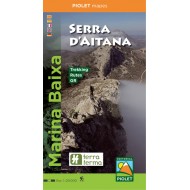
Marina Baixa - Serra D'Aitana Editorial... Marina Baixa - Serra D'Aitana Editorial...
MARINA BAIXA - SERRA D'AITANA EDITORIAL PIOLET Map of the Marina Baixa and the Serra d'Aitana (Serra de Polop and Embalse de Guadalest). MARINA BAIXA - SERRA D'AITANA EDITORIAL PIOLET Map of the Marina...
10,00 €In Stock -
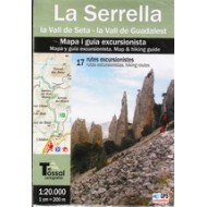
La Serrella. La vall de Seta-La Vall de... La Serrella. La vall de Seta-La Vall de...
THE SERRELLA. LA VALL DE SETA-LA VALL DE GUADALEST EL TOSSAL Hiker map of La Serrella la Vall de Seta - la Vall de Guadalest. THE SERRELLA. LA VALL DE SETA-LA VALL DE GUADALEST EL TOSSAL Hiker...
10,00 €Out of stock -
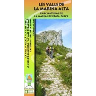
Les Valls de la Marina Alta: Parc Natural... Les Valls de la Marina Alta: Parc Natural...
LES VALLS DE LA MARINA ALTA: PARC NATURAL DE LA MARJAL DE PEGO-OLIVA EDITORIAL PIOLET Map of La Vall d'Alcalà, La Vall d'Ebo, La Vall de la Gallinera, La Vall de Laguar, L'Atzúbia and Circ de la Safor. LES VALLS DE LA MARINA ALTA: PARC NATURAL DE LA MARJAL DE...
10,00 €In Stock -
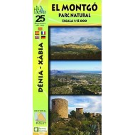
El Montgó: Parc Natural Editorial Piolet El Montgó: Parc Natural Editorial Piolet
EL MONTGÓ: PARC NATURAL EDITORIAL PIOLET Map of the Natural Park of El Montgó in Dénia-Xàbia. EL MONTGÓ: PARC NATURAL EDITORIAL PIOLET Map of the Natural Park...
7,00 €Out of stock -
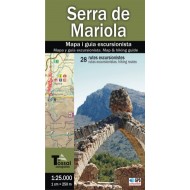
Serra de Mariola: Mapa i guia... Serra de Mariola: Mapa i guia...
SERRA DE MARIOLA: MAPA I GUIA EXCURSIONISTA ED. EL TOSSAL CARTOGRAFIES Map and guide hiker at scale 1: 25,000 of the Sierra de Mariola, declared a Natural Park in 2002. SERRA DE MARIOLA: MAPA I GUIA EXCURSIONISTA ED. EL TOSSAL...
10,00 €Out of stock -
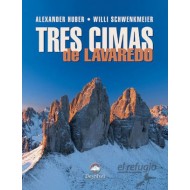
Tres Cimas de Lavaredo Desnivel Tres Cimas de Lavaredo Desnivel
TRES CIMAS DE LAVAREDO DESNIVEL On the walls and edges of the Three Peaks of Lavaredo write the history of climbing for more than 100 years. TRES CIMAS DE LAVAREDO DESNIVEL On the walls and edges of the...
28,05 € 33,00 € -15%In Stock -
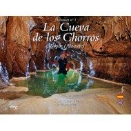
La Cueva de los Chorros: Riópar (Albacete) La Cueva de los Chorros: Riópar (Albacete)
LA CUEVA DE LOS CHORROS: RIÓPAR (ALBACETE) Photo Book of La cueva de los Chorros in Riópar. LA CUEVA DE LOS CHORROS: RIÓPAR (ALBACETE) Photo Book of La cueva...
15,00 €In Stock -
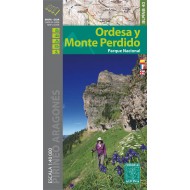
Ordesa y Monte Perdido Editorial Alpina Ordesa y Monte Perdido Editorial Alpina
ORDESA Y MONTE PERDIDO EDITORIAL ALPINA Map and hiker guide of the Ordesa y Monte Perdido National Park in the Aragonese Pyrenees. ORDESA Y MONTE PERDIDO EDITORIAL ALPINA Map and hiker guide of the...
12,00 €In Stock
